INTERACTIVE RESOURCES

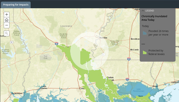
WHEN RISING SEAS HIT HOME
Interactive maps which show the consequences of sea level rise and chronic flood inundation.

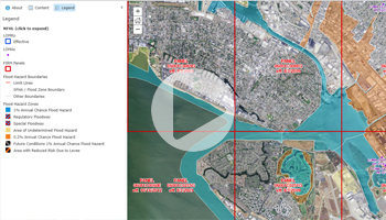
OFFICIAL FLOOD HAZARD MAP LAYER
Data from Flood Insurance Rate Maps (FIRMs) where available digitally.

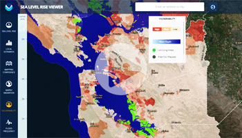
SEA LEVEL RISE VIEWER
Comprehensive sea level rise map for planners. Includes local scenarios and flood frequency.
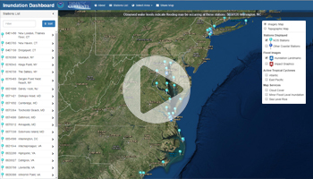
REAL TIME FLOOD INUNDATION MAP
Provides real-time and historical inundation information at select NOS stations.

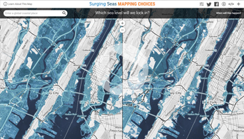
CLIMATE CHOICES MAP
Which sea level will we lock in? Adjust factors of sea level rise to compare predicted outcomes.

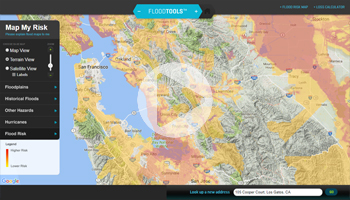
MAP MY RISK
Enter a property’s address to discover it’s flood risk level and amount of loss due to flooding.
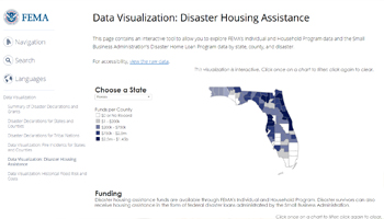
DISASTER HOUSING ASSISTANCE
Explore FEMA’s Individual and Household Program data by state, county, and disaster.

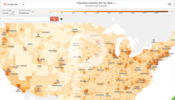
US DEMOGRAPHY MAP
Comprehensive, custom map tool with over 200 years of demographic data to explore.

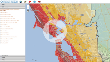
BAY AREA, CA – DISASTER SCENARIOS
Interactive map of the Bay Area, California with extensive flood, earthquake and wildfire data.

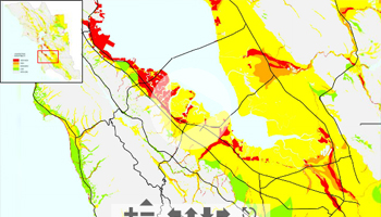
SF BAY – LIQUEFACTION SUSCEPTIBILITY
Based on assessments of the potential for liquefaction in each quaternary geologic map.

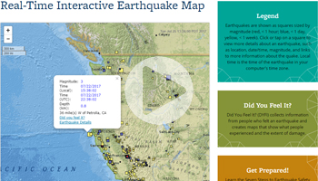
REAL-TIME EARTHQUAKE MAP
View earthquake occurrences across the globe in real time, with time and magnitude data.

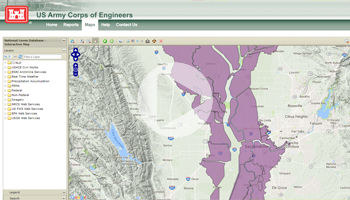
NATIONAL LEVEE DATABASE (NLD)
Developed by USACE, this Map is the focal point for extensive information about US levees.
* These tools are for illustrative purposes only. We haven’t independently verified these tools and cannot endorse their accuracy.